Impossible Route: Death Valley Day 1
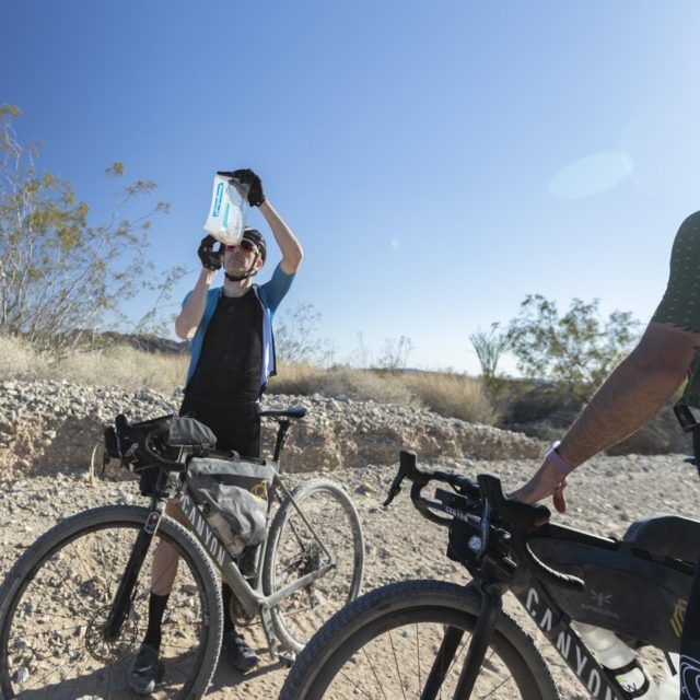
March 1: 120 Miles – Yuma to Blythe
No More Water?
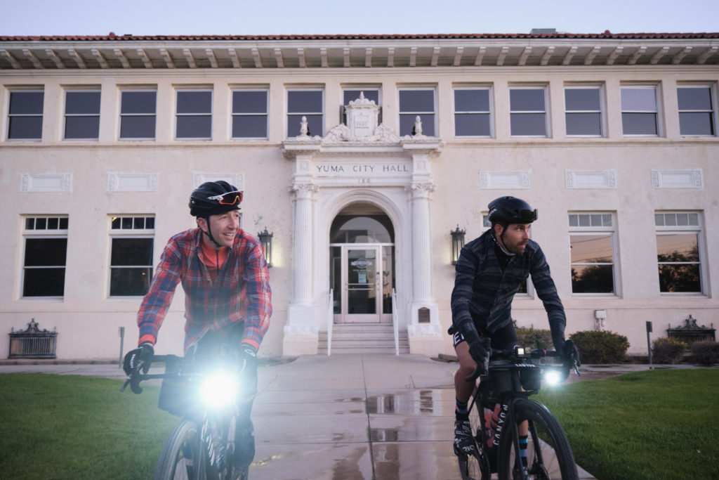
Tyler and I were as excited as school kids off to the first day. The adventure started out well. We climbed north away from the US/Mexican border town of Yuma Arizona.
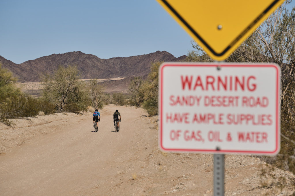
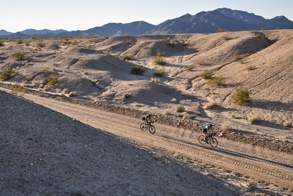
Into the wind, we started up the washboarded Picacho Road. The scenery became forbidding and increasingly desolate as we left civilization. The only spot of shade that could be found was next to a sign warning us that ahead there would be no gas, food, or water.
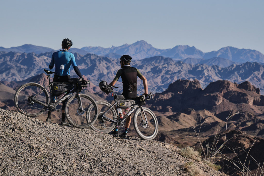
After two hours, we crested a gap between two mountains – the Picacho Mine overlook. We froze in our tracks. The view of the rough Trigo Mountain Wilderness was mesmerizing. The jagged peaks layered endlessly in the distance. Tyler and I had a collective “oh, shit!” moment. We just caught the first glimpse of our opponent.
We remained optimistic as we passed through Picacho State Recreation Area and merrily passed our last possible water source, the Colorado River, before entering the sandbox. At first the sand was rideable, but approximately 4-miles-long, it tested our patience with on-and-off the bike falling. Our frustration lead to anger, and our anger led to doubt. At one point, I broke out laughing because it was all I had left to cope. We felt like two little flies stuck on flypaper, barely able to move, but we kept going.
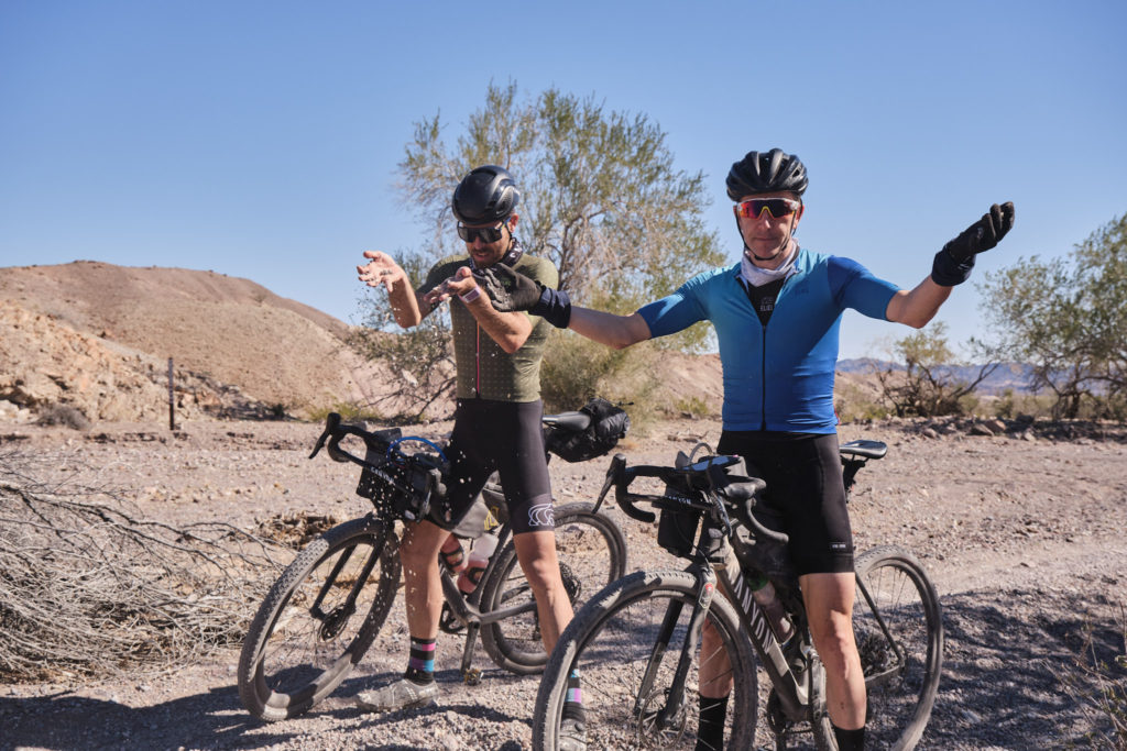
Tyler’s shoe broke and we had to stuff a buff in it so it wouldn’t stab him in the foot. We kept going, feet aching, arms tired from pushing the bike, and the heat was climbing into the low 80’s. This had us sucking down our water much faster than planned. Finally we passed a guy on a four-wheel dune buggy. He tossed us some water (trail angel!) and said, “Hang in there, guys! A quarter-mile and the sand is done!”
Freedom! We climbed up out of there and felt like we’d escaped the first trap of the route. Only 660 miles left.
The pavement on Route 78 was pretty sketchy and there were a lot of big trucks passing, so I was excited to turn left on Milpitas Wash Road. We stopped and tried to cry because looking ahead we could see it was another river of deep sand and rocks.
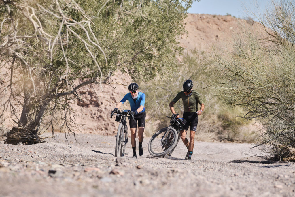
Riding but mostly walking for a half mile, “It will get better,” I said. This was my promise of the week to keep Tyler’s morale up. Once we escape the sand, it was on washboard. The thing is when you’re riding at 4 miles an hour in the blazing sun doing high power just to stay upright, you go through water fast. We ran out with 20 miles to go, as we approached Bradshaw Trail.
Turning right on Bradshaw Trail, we were greeted by our old friend the sand. This time it was more like a river of pebbles. They were the size of dimes, quarters, and nickels. Our tires sank and so did our spirits. Exhausted and out of water, we have been riding for eight hours. We took the lids off our water bottles and sucked the last drop of water from the tube connected to my hydration bladder. Already my head was throbbing from dehydration.
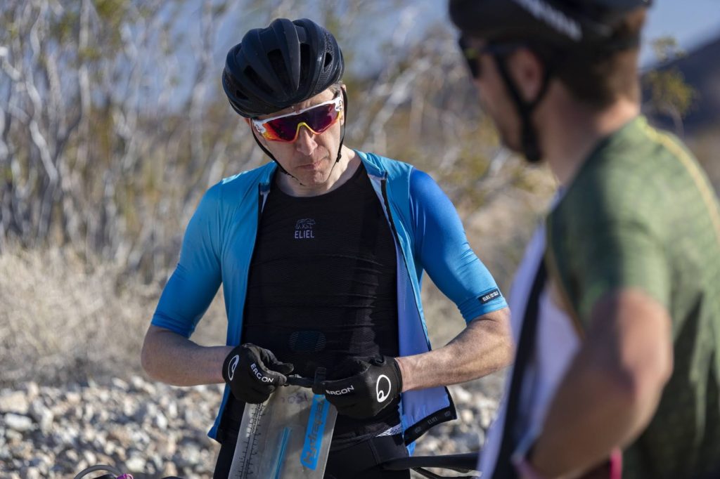
Tyler asked Dale how much farther?
Dale said, “13 miles.”
Tyler said, “No way I can make it 13 miles with no water on this trail.”
I coaxed him to just make it to the top of the hill. Then we can coast down to town and maybe find water halfway there. Of course this was a lie, because I knew there was no water on the other side of the mountain, but it kept us moving. We found a motorcycle family and Tyler batted his eyelashes scoring us some water and saving the day.
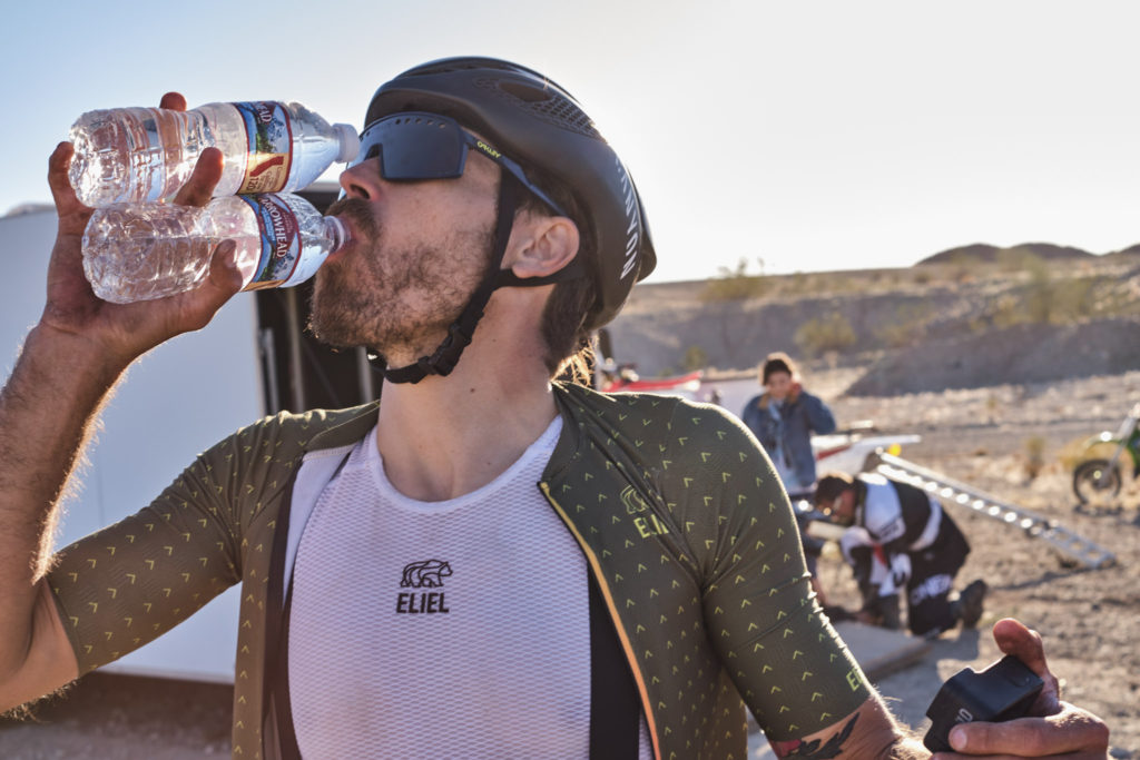
We sped over the final six miles that were paved. We were so happy to see the campground and ready for some awesome food, but we also realized that riding sunrise-to-sunset every day with very little recovery was going to smash us and become unsustainable.
This is the third of a nine-part journal of the Impossible Route: Death Valley expedition. Read part four. The journal is being released in conjunction with the feature documentary.
