Impossible Route: Death Valley Day 2
March 2: 130 Miles – Blythe to Hole in the Wall
Shoe Tree Chasing the Mirage
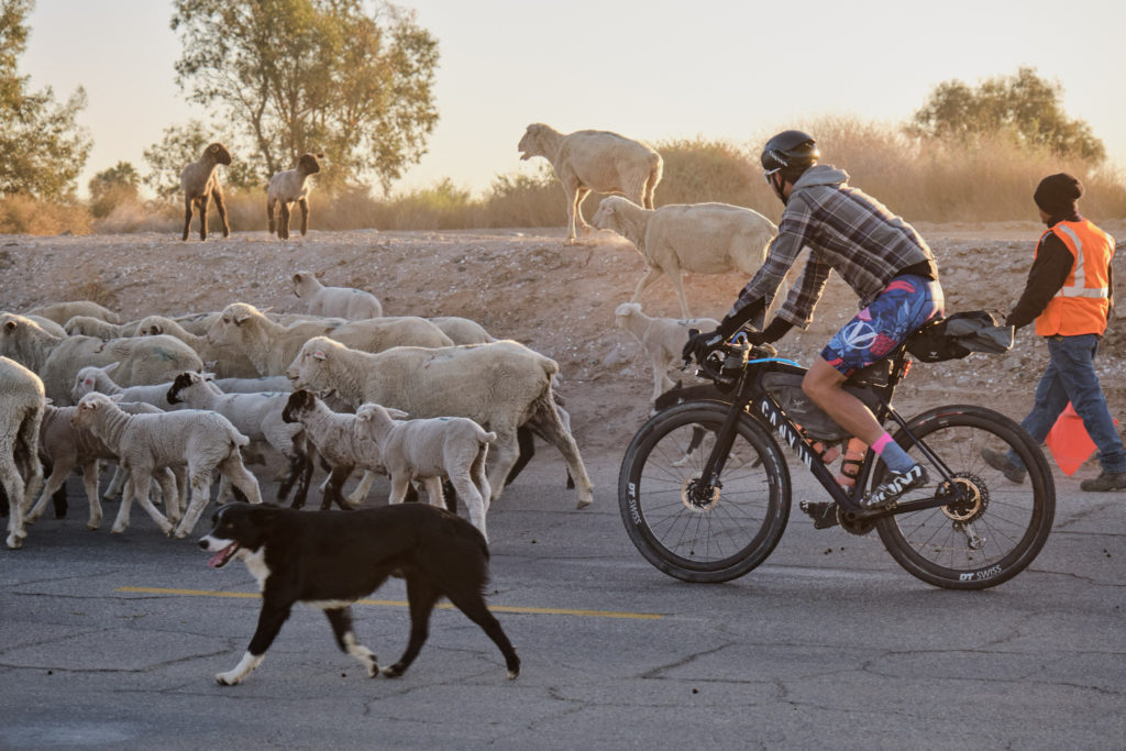
We started out in the crisp morning air, through great farmlands with small houses and palms of old Mexico. We turned a corner only to be stopped behind a massive herd of sheep. The men with their safety vests and sticks worked dogs to move the sheep. It was relaxing to be at the mercy of the sheep’s pace, but at some point we knew we needed to forge on.
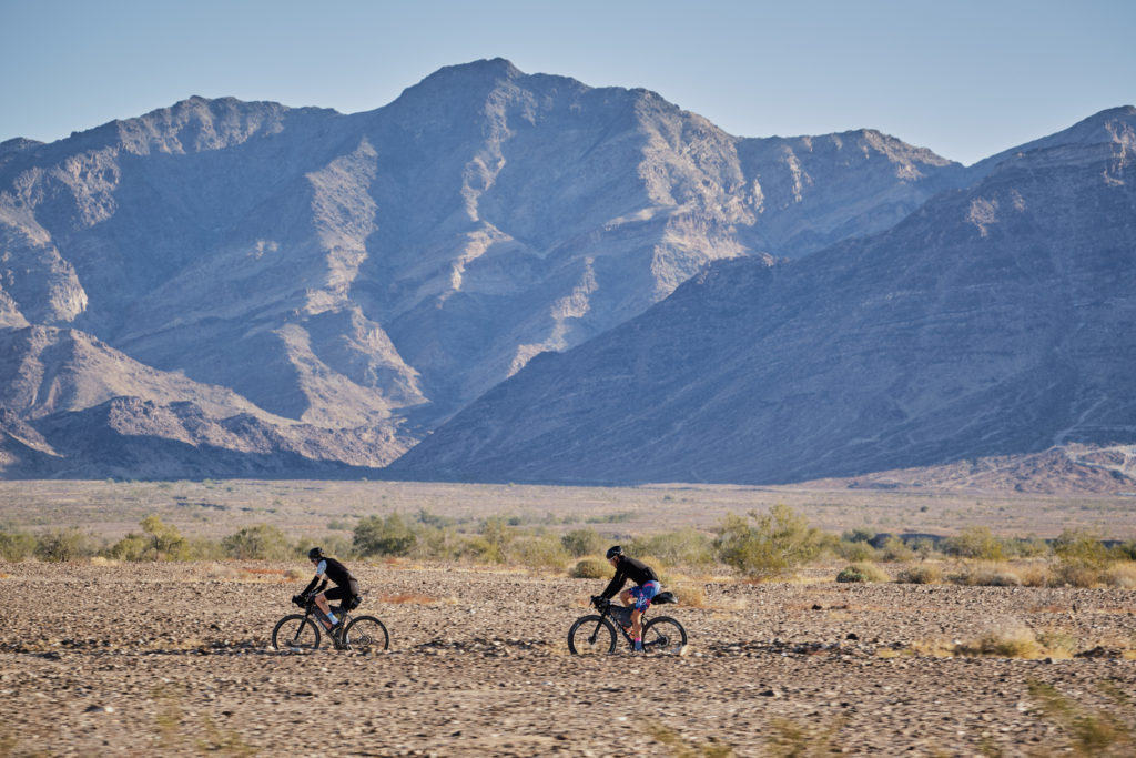
Today’s surface was a little firmer. We climbed northwest on Blythe Rice Road and over Styx Pass, enjoyed some magic vistas and very nice gravel. The track alternated between fast gravel and 1-kilometer-long sand patches that forced high power just to stay up, but today the rhythm change was tolerable and even fun.
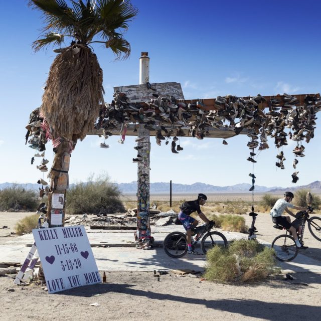
We stopped at the Rice Shoe Fence for some photos and to take in the modern art/trash installation that was something out of a post apocalyptic future movie. It was kind of creepy, to be honest – not the kind of place I want to be at nighttime.
We got back on route but struggled to find the correct road leaving the ghost town of Rice. We decided it was safest to take the plan-B route of Cabot Road where we were passed by giant trucks hauling salt with huge trailers. These desert titans on wheels flung dust trails like jet plane for miles. As we approached the horizon, it would just get farther away. At one point we spotted a town. “Look!” We were excited. A patch of little white square buildings in the distance surely meant water was near.
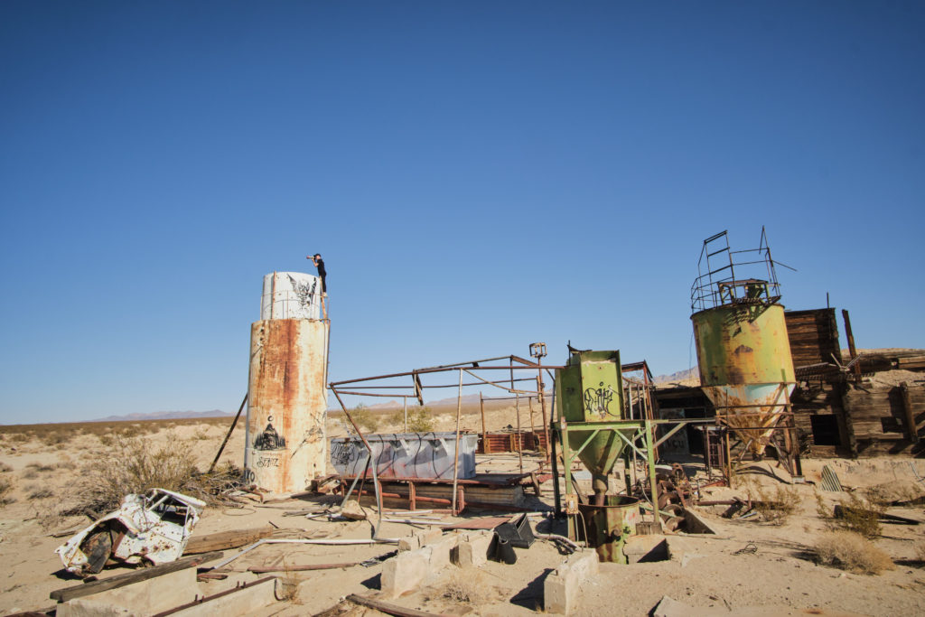
The closer we got, the farther the town seemed, until finally an hour later we arrived at an abandoned mine site. There were containers, gas tanks, earthmoving machines, oil tanks, sheet metal and buildings, but no people. No water. ‘Damn, I’m getting thirsty, “I thought. We continued west. Our left sides baking in the sun, the backs of our legs burned to purple. We encountered deep sand and again full effort rendered progress of just 4 miles-per -hour.
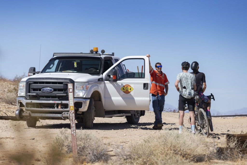
The sections that were hard-packed were gorgeous lunar landscapes in 360 degrees. Finally, after two hours, we arrived at an intersection. Upon crossing the tracks, we became excited because we saw the only human being we’d seen all day: a rail line maintenance worker, with a sweat-stained shirt, worn boots, and scruffy cowboy chin. He waved hello. Tyler chatted with him and scored us four little bottles of water. It was just what we needed to make it.
We opted for the pavement on Route 66 from Danby, but two completely washed out sections interrupted even that route. We rode right down the yellow line on what used to be the busiest road in the Southwest. I imagined folks in heavy metal cruisers traveling to San Diego or Las Vegas from Chicago. Now Route 66 is just dressed in sand, and cracked pavement, and old signs. The rough payment is a treat.
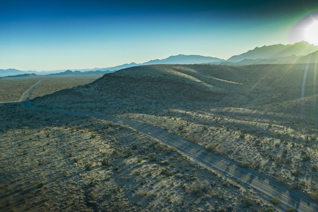
We upped our speed toward the abandoned town of Essex – the fourth ghost town that we passed. So many abandoned places and lost stories, and again no obvious signs of water. According to the map we just had to turn left and in 10 minutes, cross the highway, and go up one more hill. No problem, I thought. Then we looked in the distance and caught sight of the behemoth mountain and realized the scale of my map. Our jaws dropped. Because my GPS track was a 130-mile point-to-point, the scale fooled us. The interstate was 12 miles away. The warped space-time distance of the desert got us again. Tyler and I rode as fast as we could this late in the game, thinking top speed would get us there faster. He was out of food, so I gave him my last snack. I too paid for raising the pace. It was my turn to bonk in the last half hour. Two hours later, climbing away from the sunset our brains low on sugar, we spun the pedals on the steepening grade.
We had entered Mojave National Preserve. The Joshua trees at 4,000 feet stood guard like old men. In my mind, they welcomed us to a sacred desert, palm flags showing us the way up.
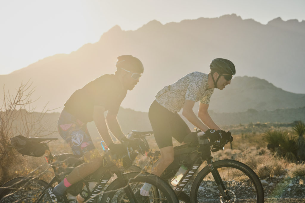
I was in the trance: The place in your head you get to only after incredible work and with a lack of mental diversions; Where the pavement passes underneath you like a conveyor belt of diamonds; The sky swirls like a van Gough painting. Long shadows stretched across the rippled desert as the sun dipped behind the mountain.
Part of the magic behind these efforts was the quest for some clear vision devoid of modern human influence. Breathe like breeze, blood rushing like a river, a reflection of mountain silhouettes in our eyes; we for once become more a part nature than of human kind for some brief moment. “###! This is Epic!” Tyler blurts out. Yep, I confirm this over-used word certainly rebranded in this moment.
Finally we arrived to the hole-in-the-wall campground nestled in a high saddle between the Woods Mountains and Providence Mountains in the Mojave National Preserve. A small applause erupted and I cracked a chapped smile.
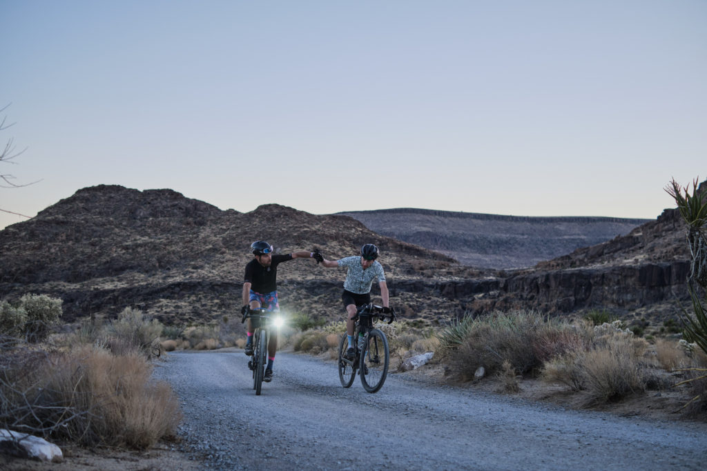
Round granite rocks, palms, cactus, yucca, and Joshua trees surrounded the campground. It was a beautiful place to call it a night. We rebounded quickly with a lot of Flow Recovery drink and water. We enjoyed laughing off the hardships of the day with the film team while eating incredible biryani and caramelized sweet potatoes Chef Biju cooked up.
This is the fourth of a nine-part journal of the Impossible Route: Death Valley expedition. Read part five. The journal is being released in conjunction with the feature documentary.
